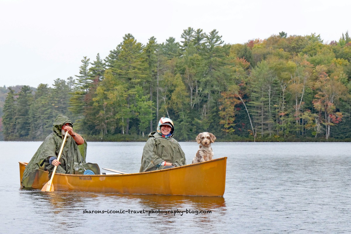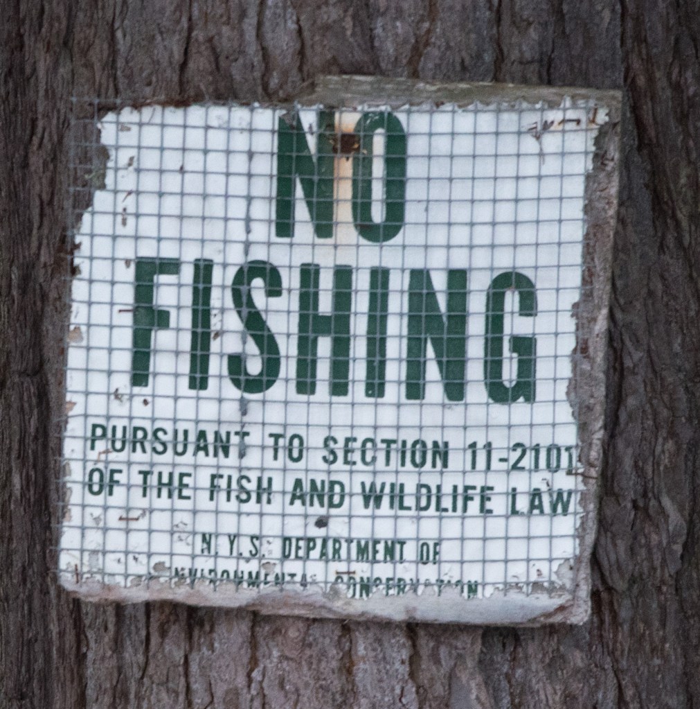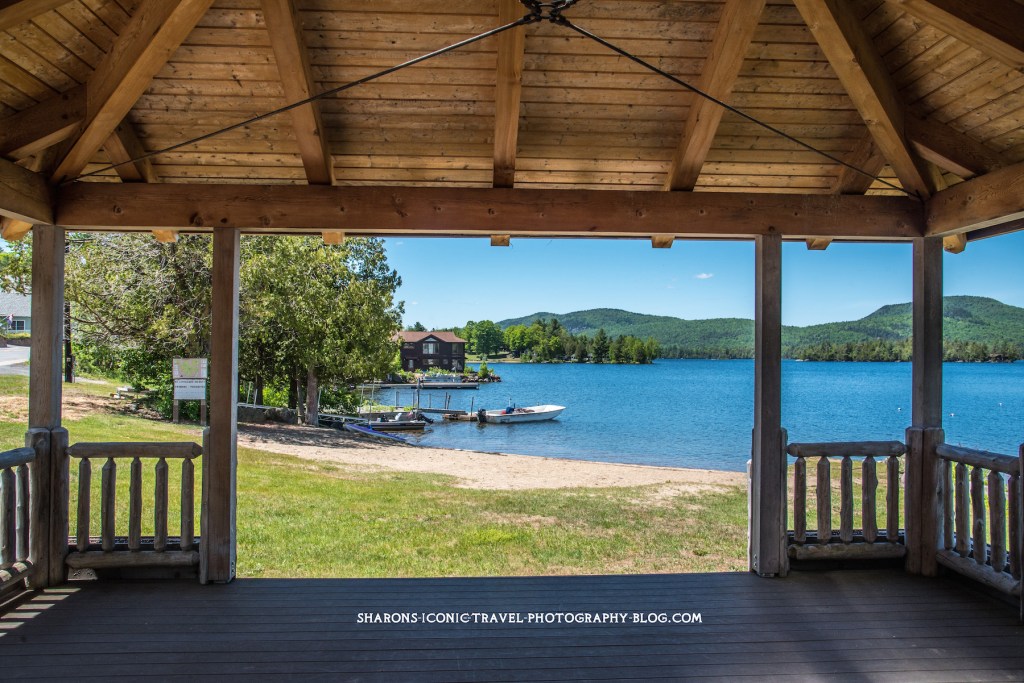
What college campus has several hiking trails and ponds open to the public? Paul Smith’s College in the Adirondack Mountains does. Black Pond is on an area of land controlled by Paul Smith’s College. The public is able to access the trails to hike and the ponds to kayak or canoe with no cost.
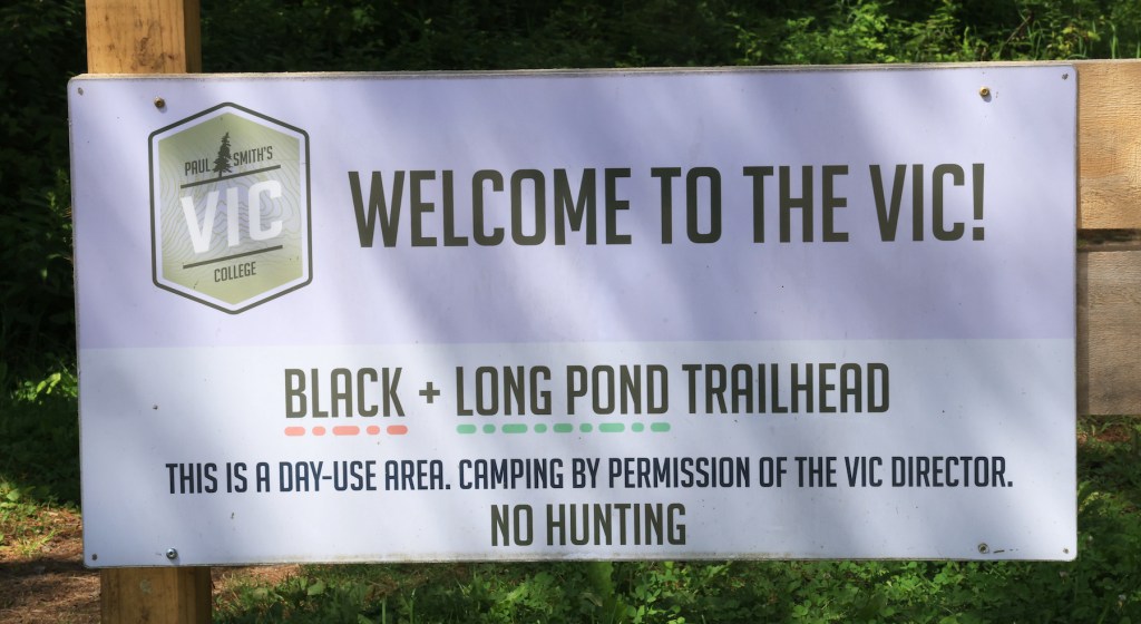
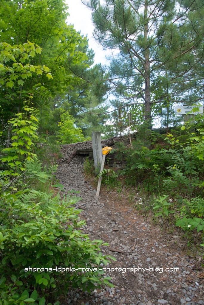
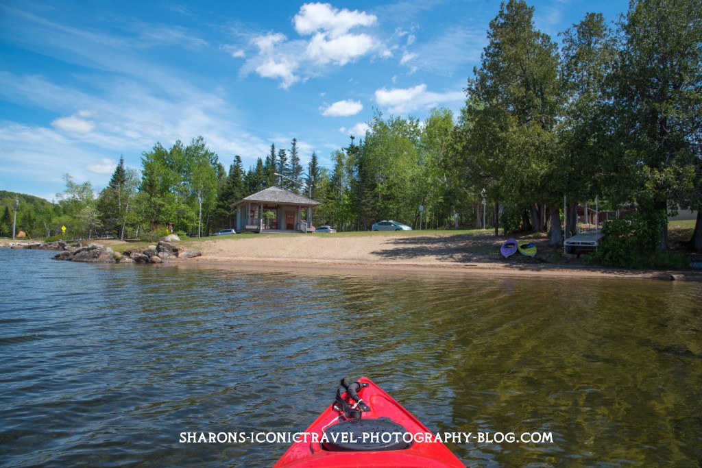
Black Pond’s parking lot can be accessed off Keese Mills Road in Paul Smiths, NY. It is a small lot that holds maybe 6 cars.
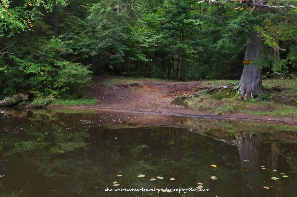
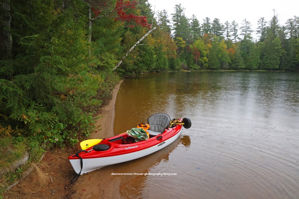
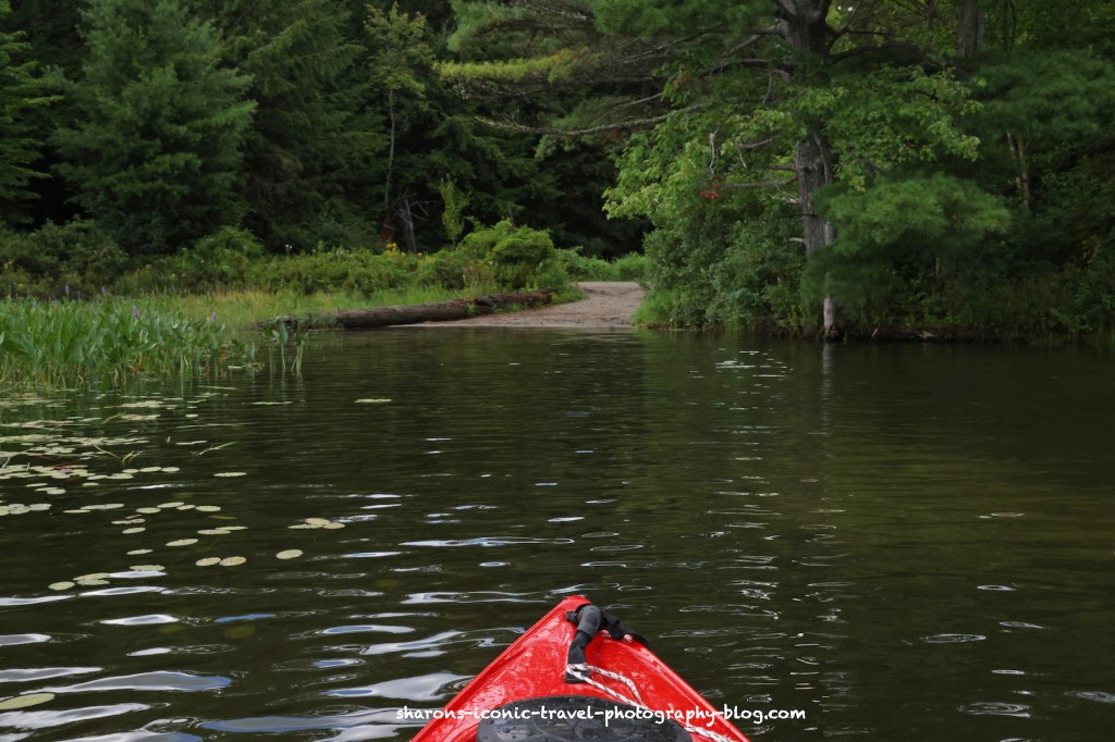
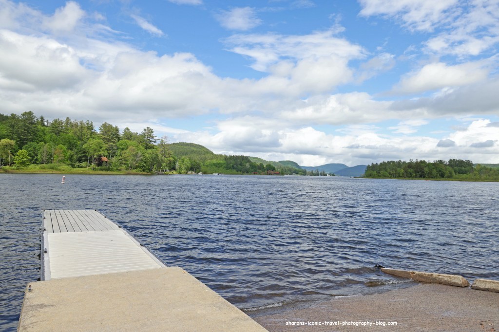
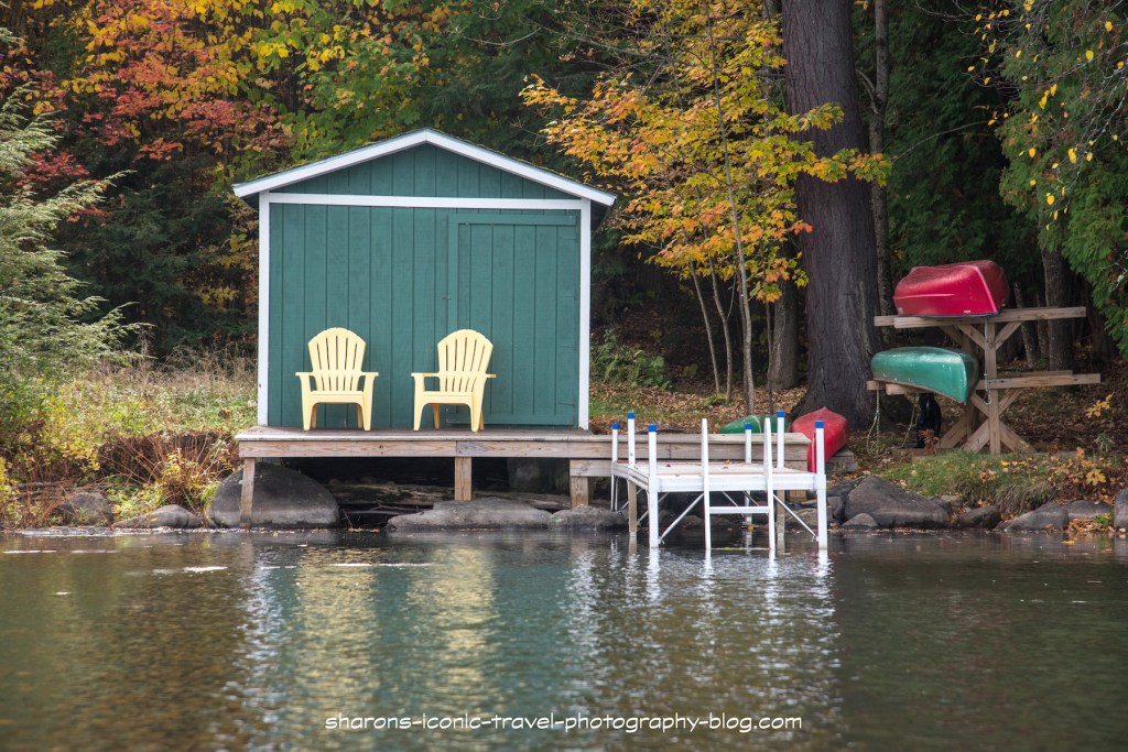
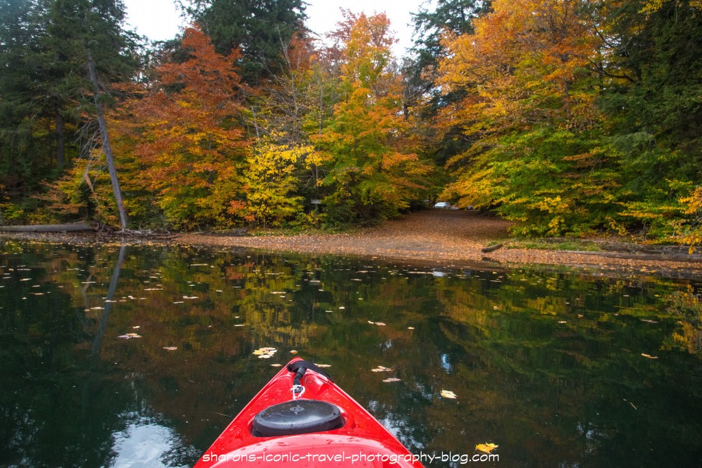
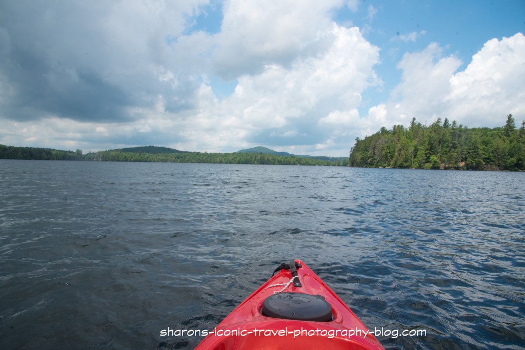
Close to the parking lot is the boat launch. It is more for canoes as the dock is higher off the water. It is a little tricky for kayaks. There is an area next to the dock you can step in the water with a depth of about 1 1/2 to 2 feet next to shore that is rocky on the bottom. When I say rocky some of the rocks are big, so be careful.
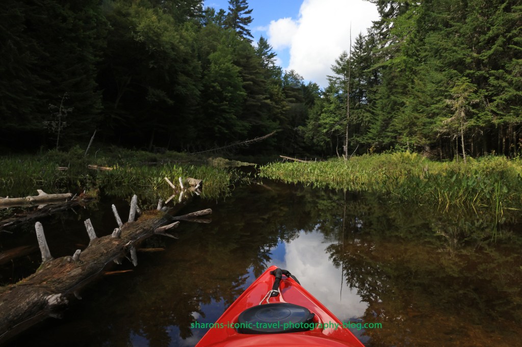
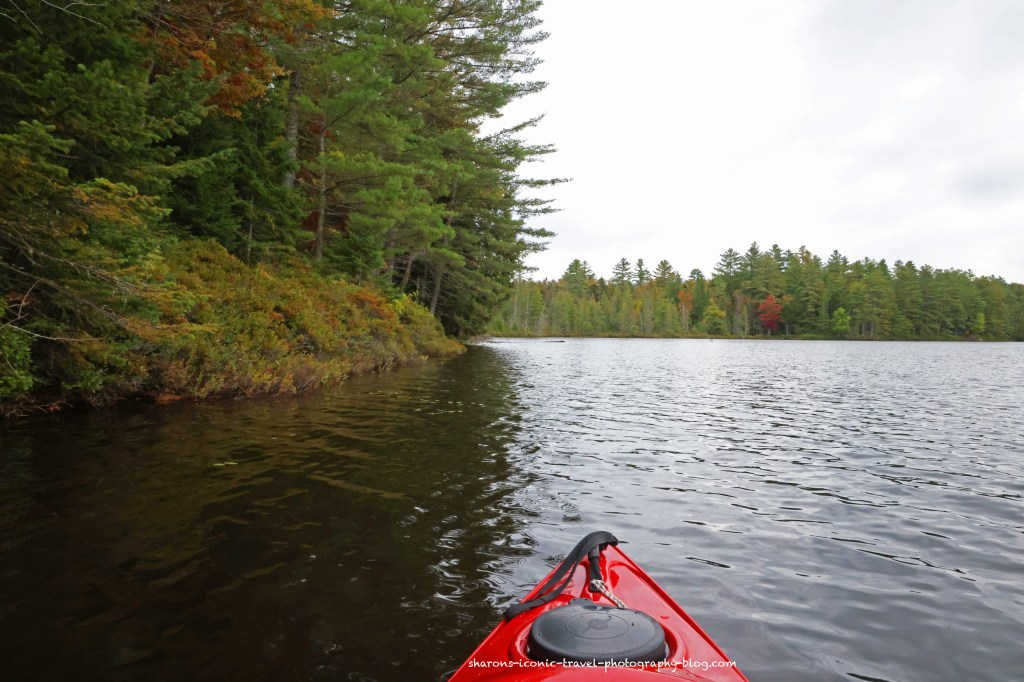
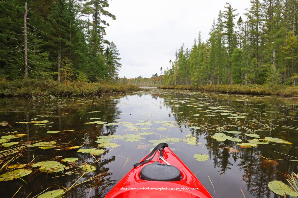
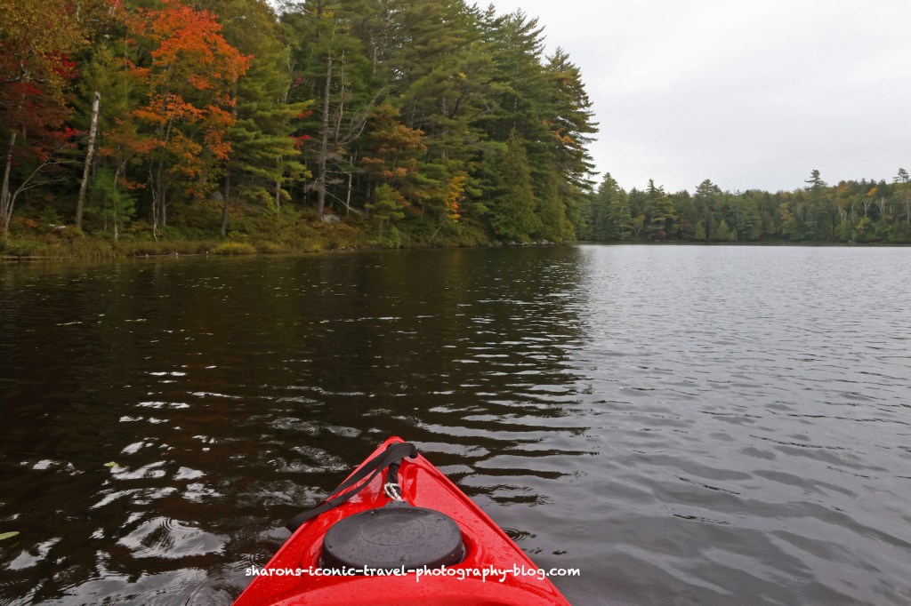
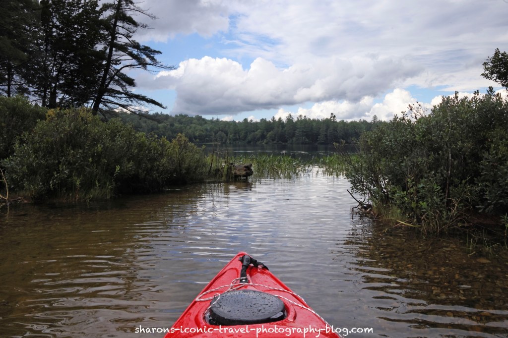
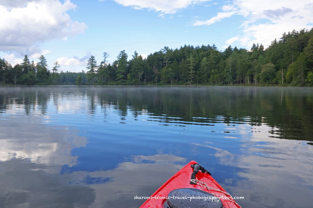
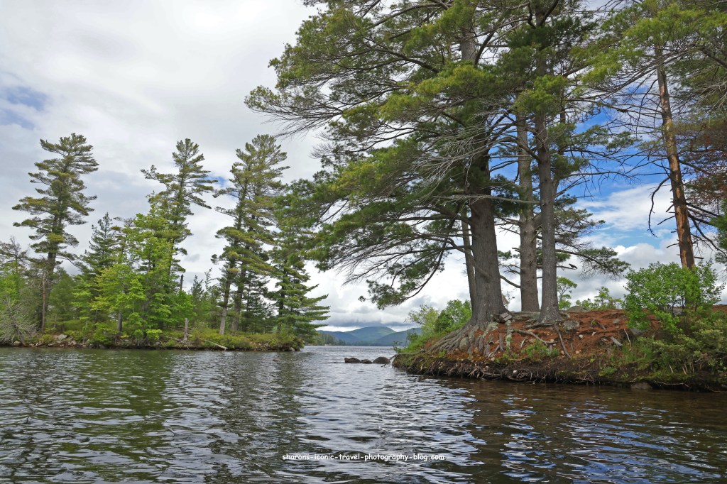
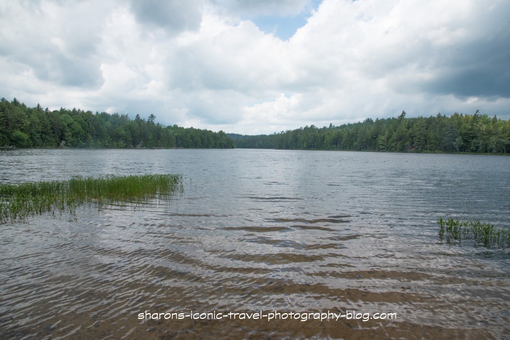
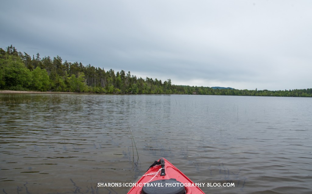
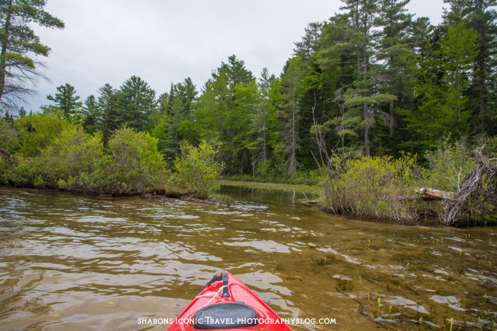
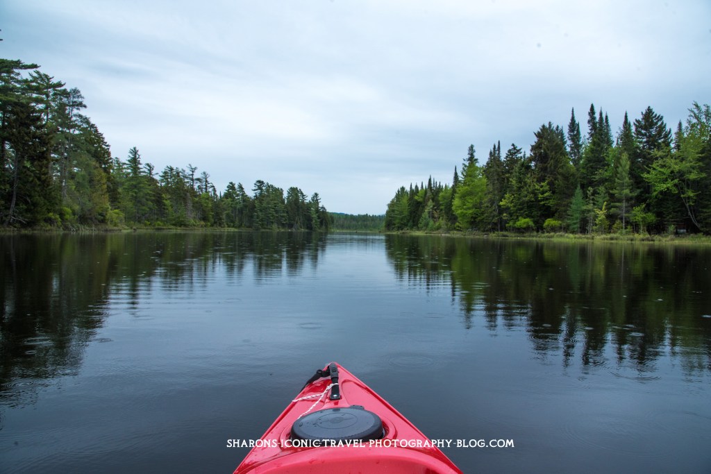
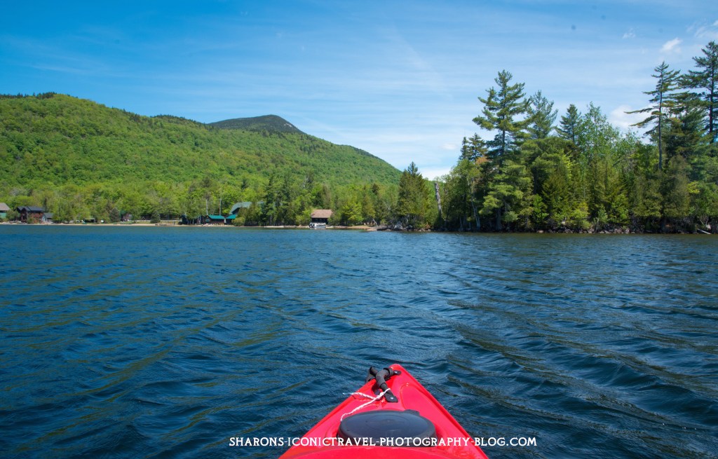
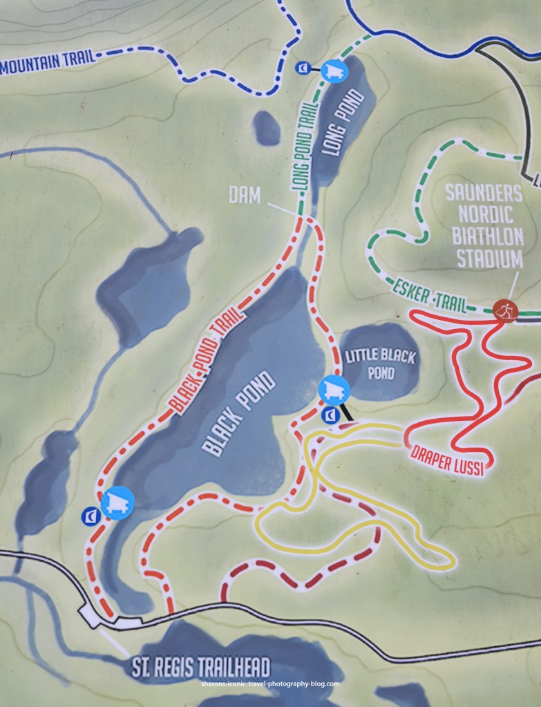
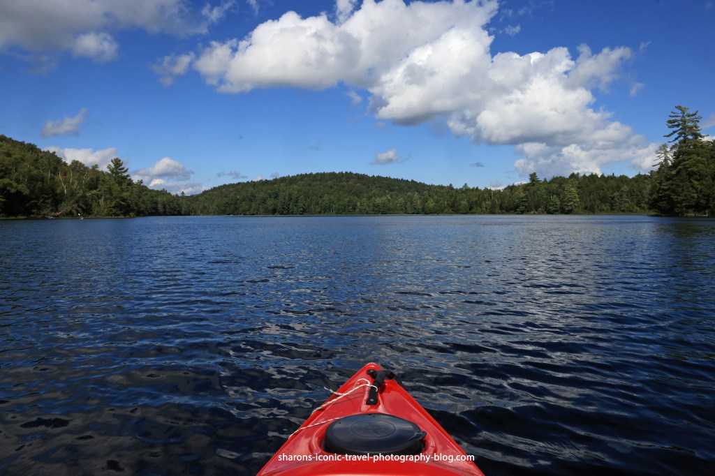
The area to paddle from the dock to the lean-to on the pond is narrow. I count this as a passageway and not the pond.
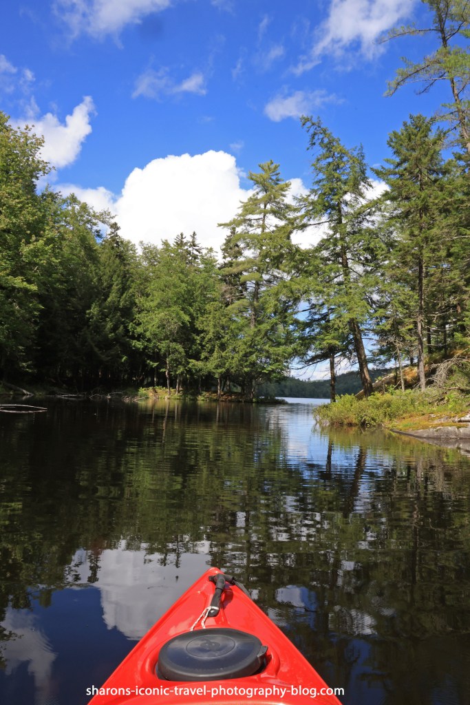
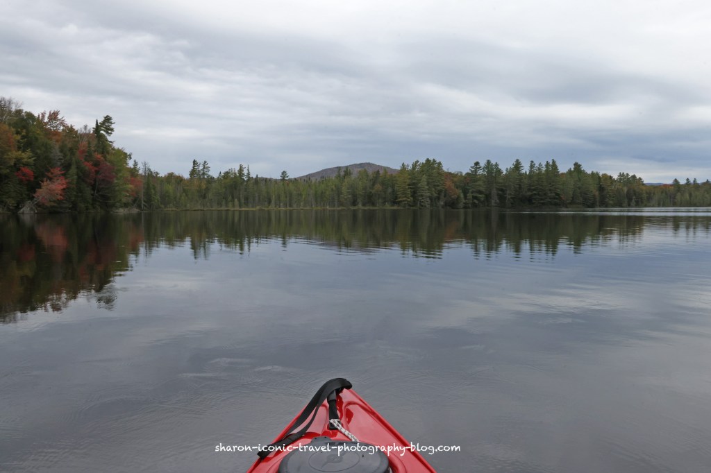
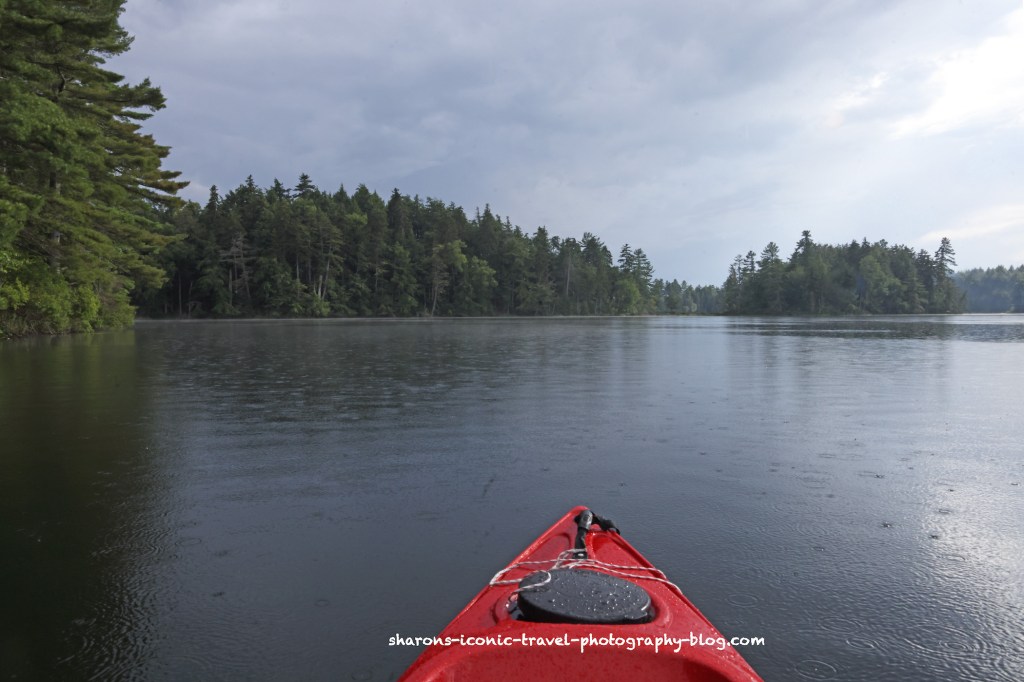
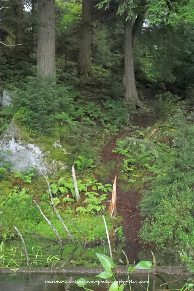
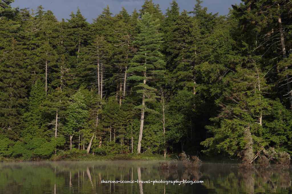
Above is the entrance to the larger portion of the pond. The lean- to will be on the left of the entrance.
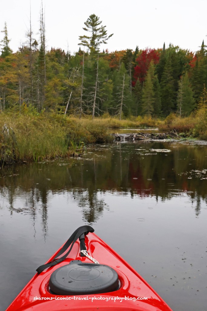
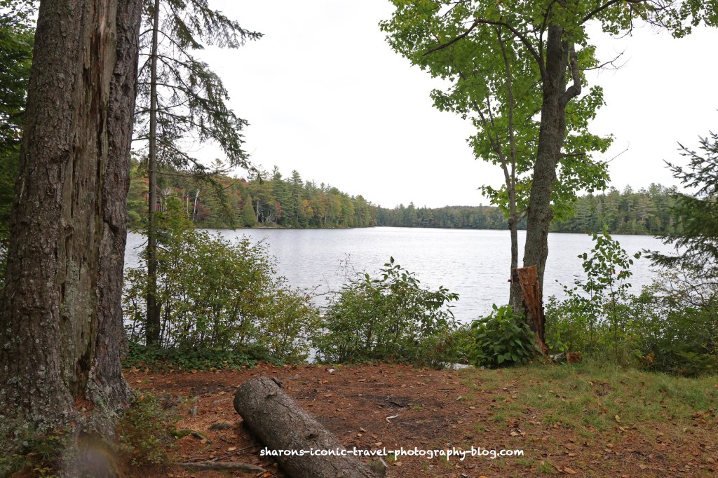
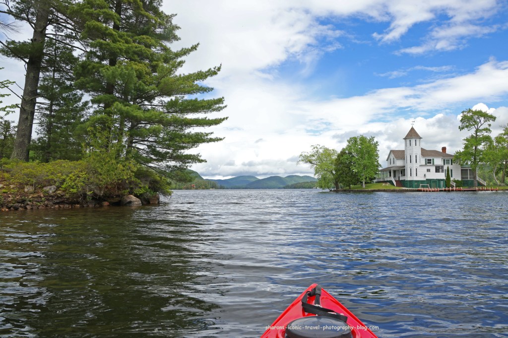
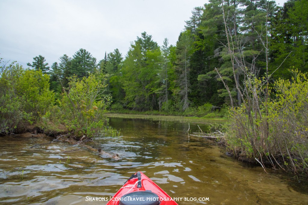
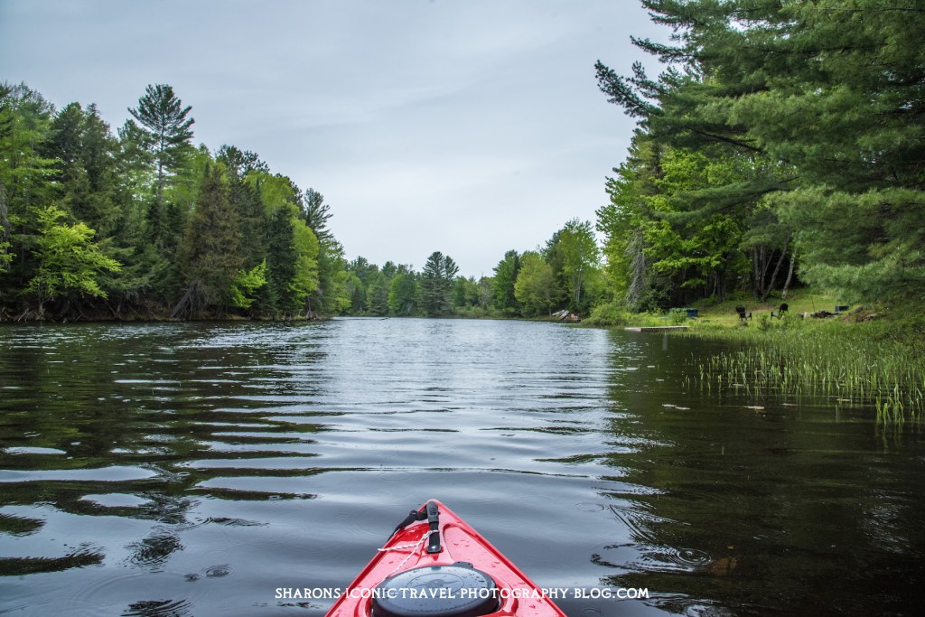
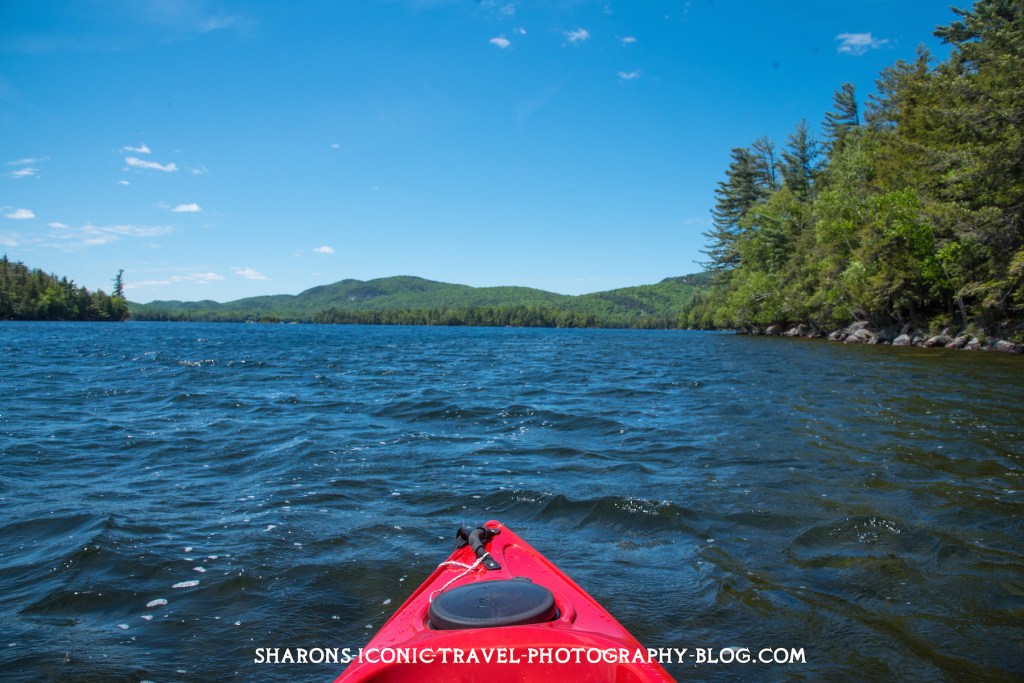
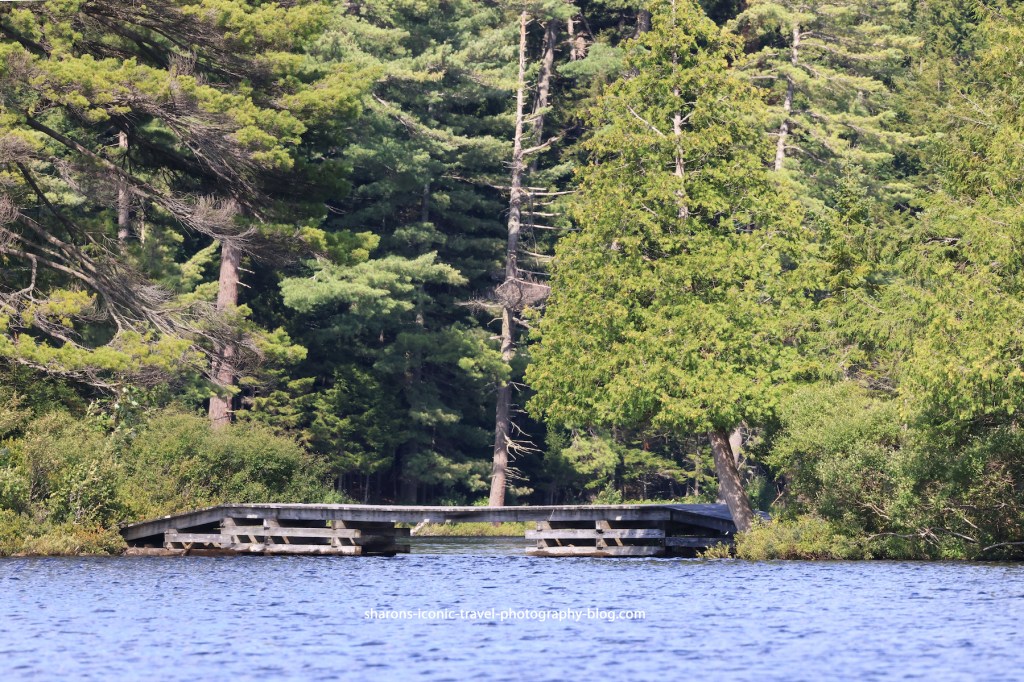
This is at the end of the entrance to the pond.
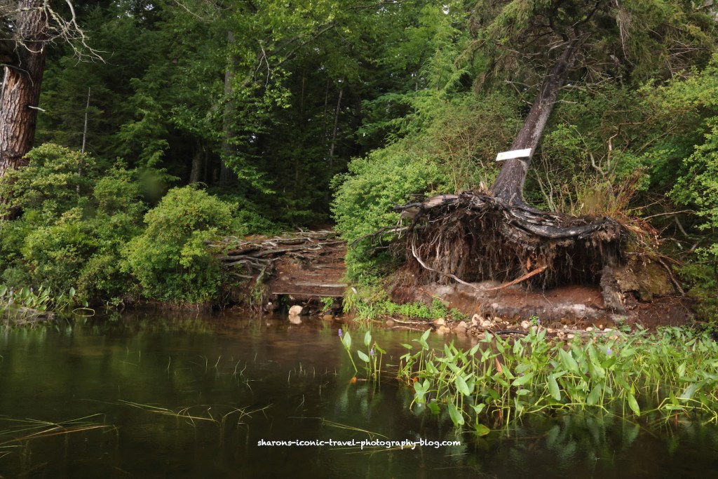
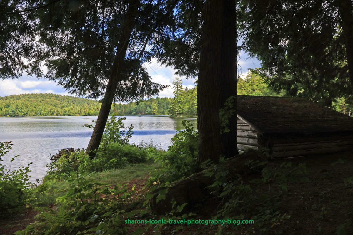
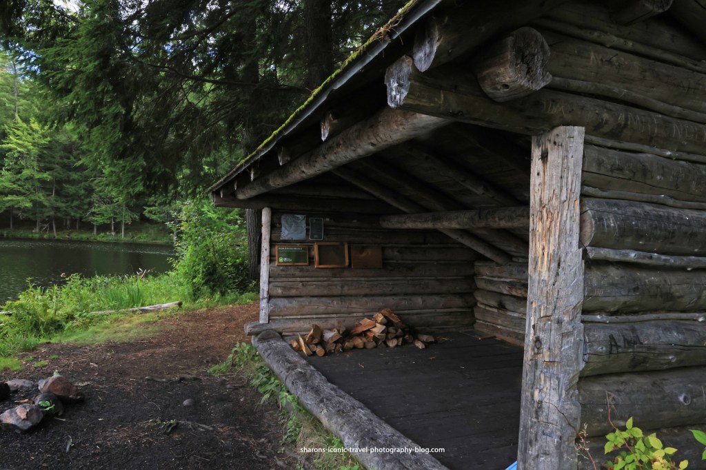
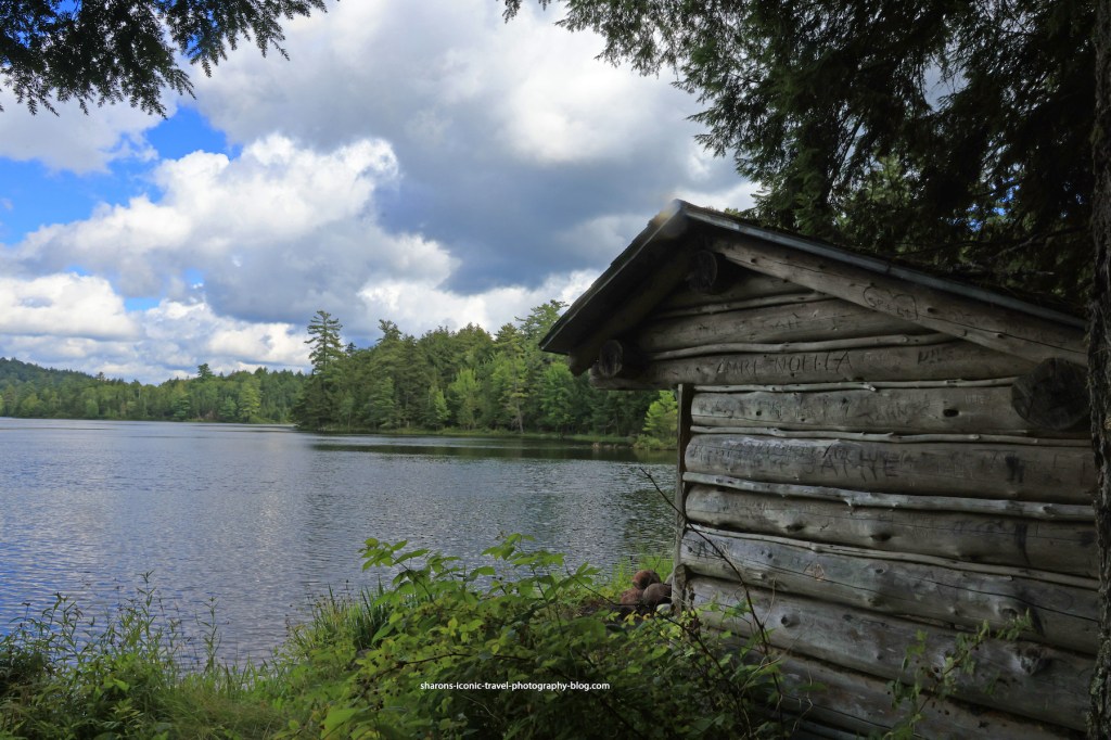
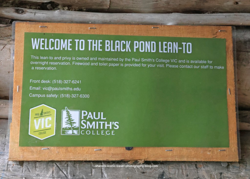
Lean-to
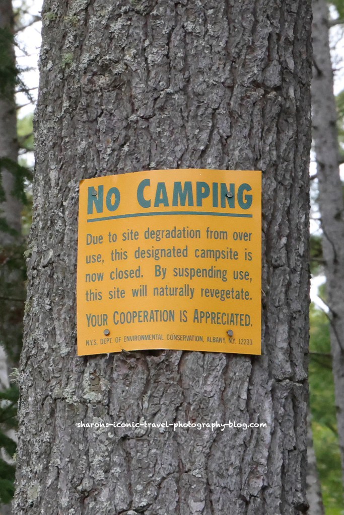
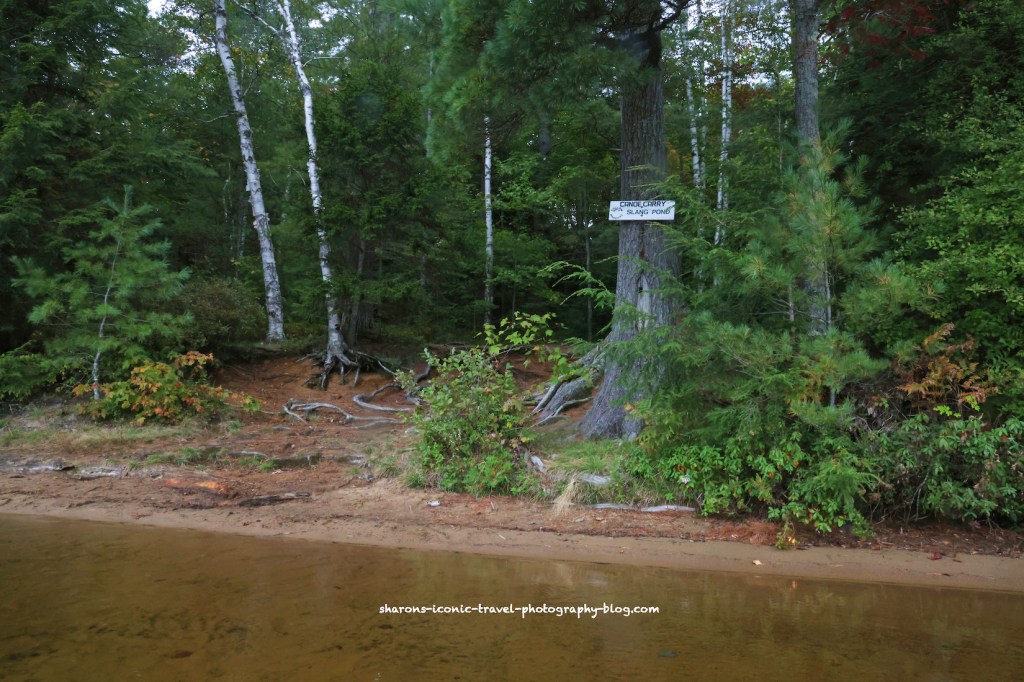
There are two lean-tos along the trail/lake. This is the first one near the entrance. You have to reserve them. They provide the firewood and toilet paper. There is a nearby privy/ outhouse. I don’t think any other sites in the ADK along lakes provide toilet paper and firewood .

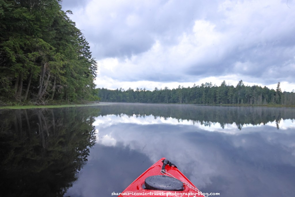
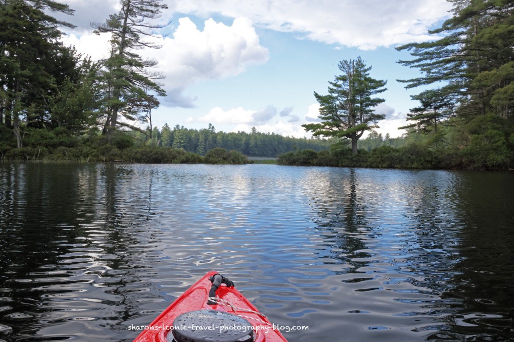
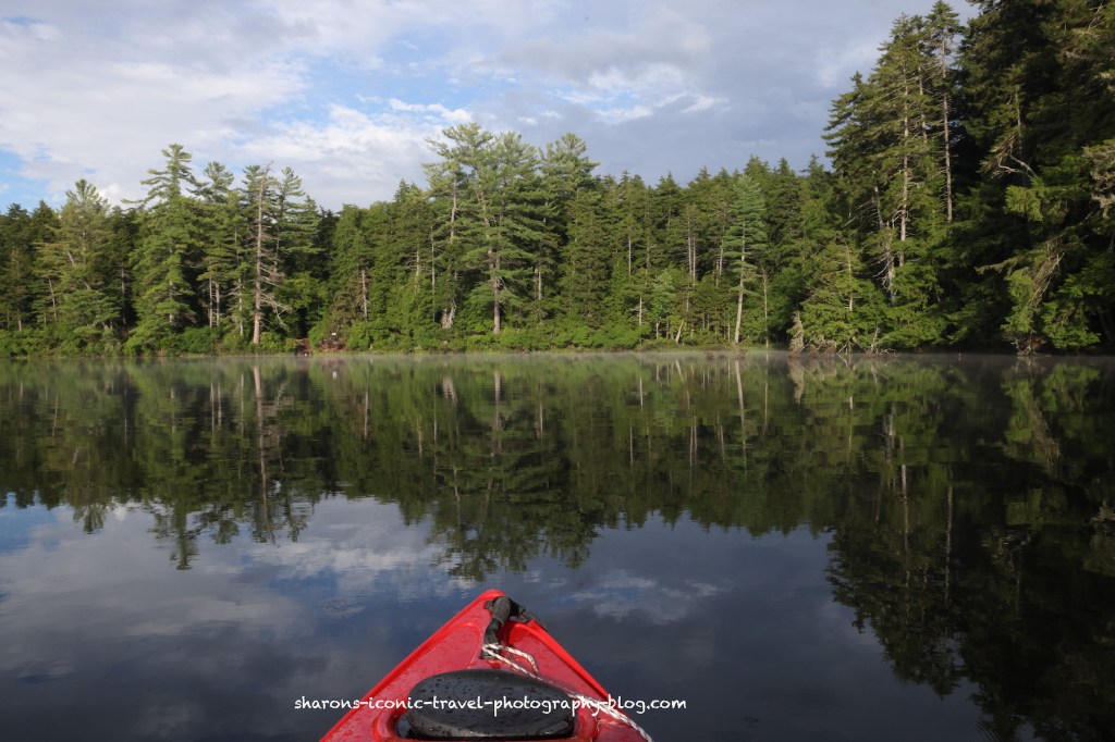
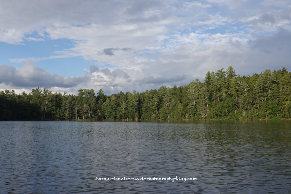
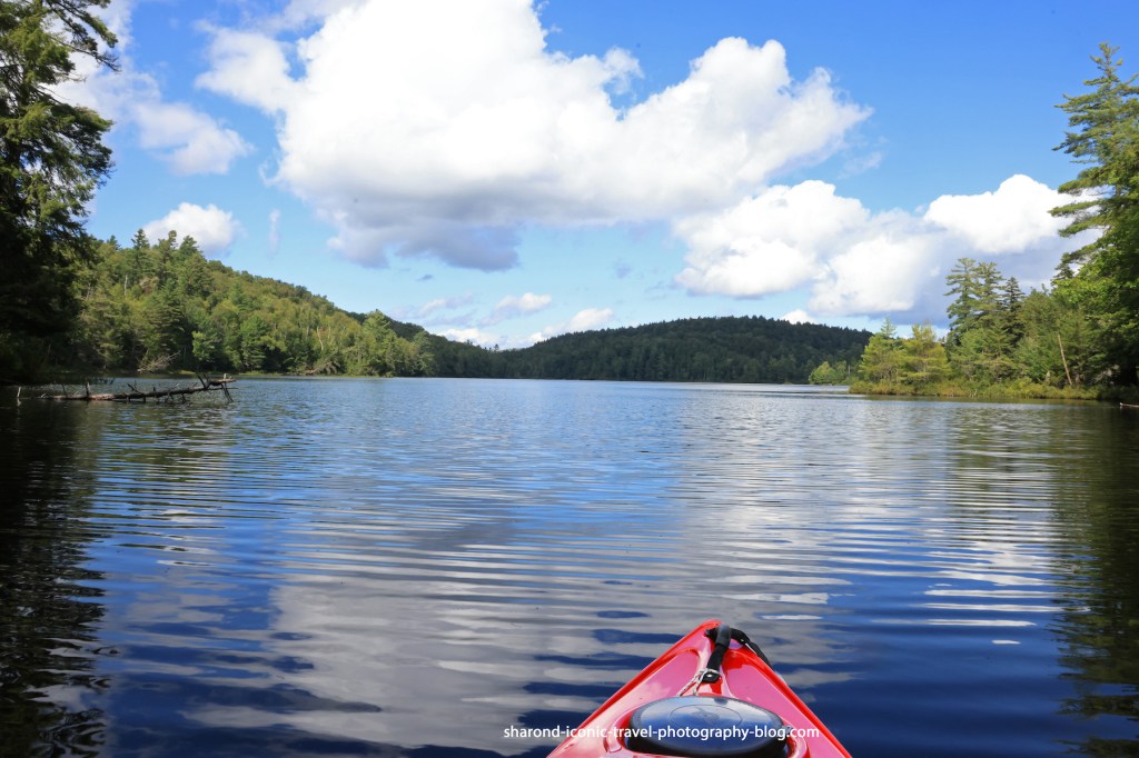
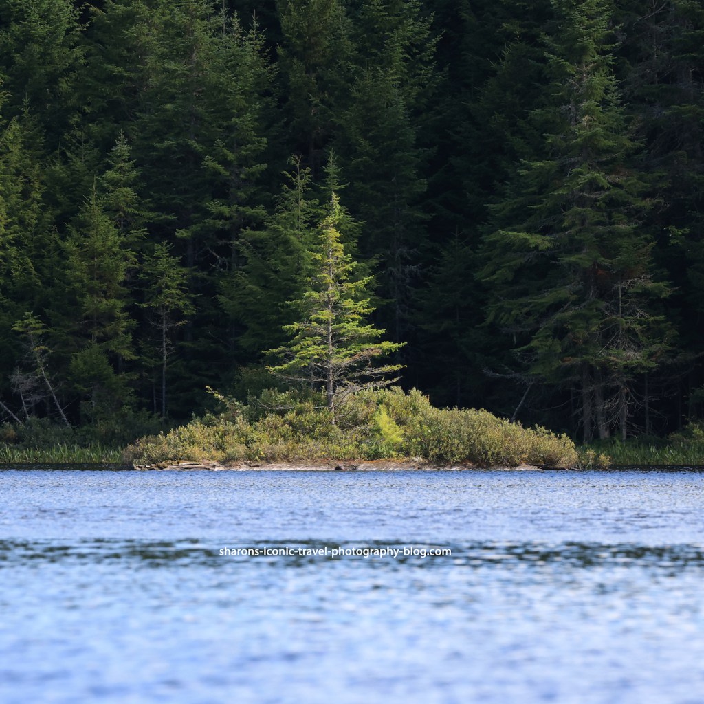
Pond
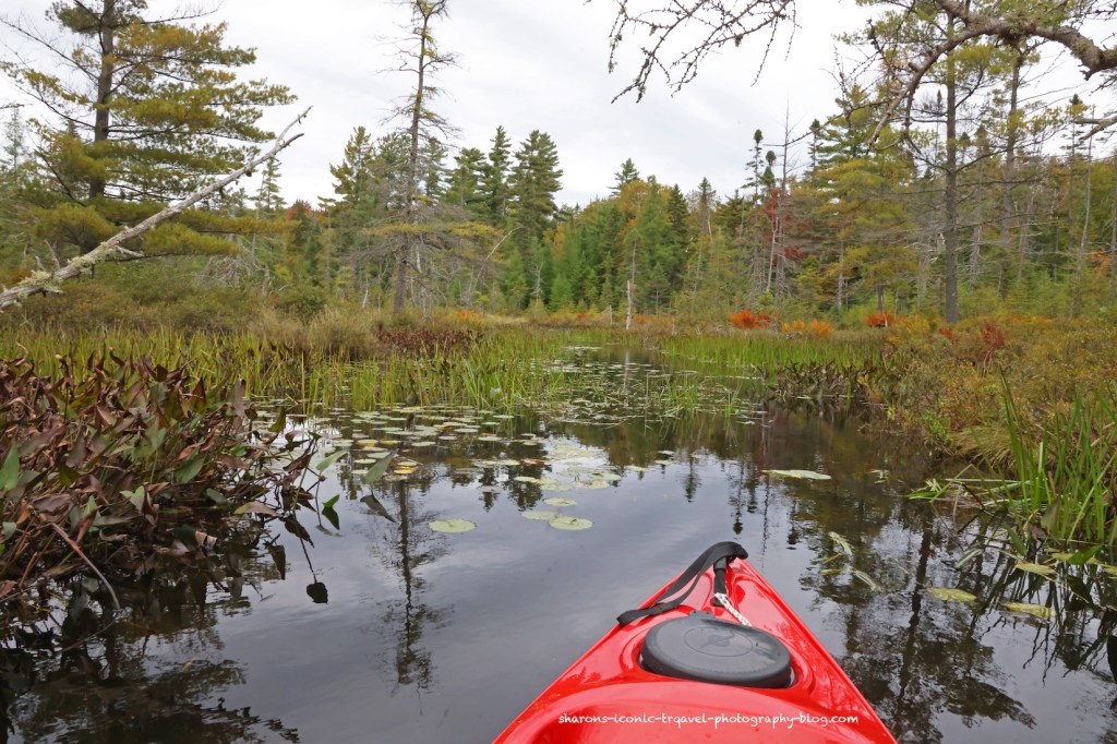
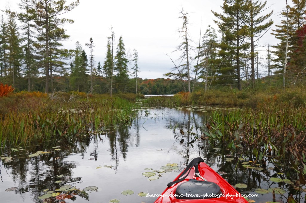
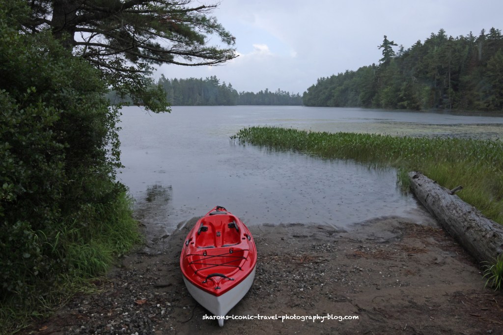
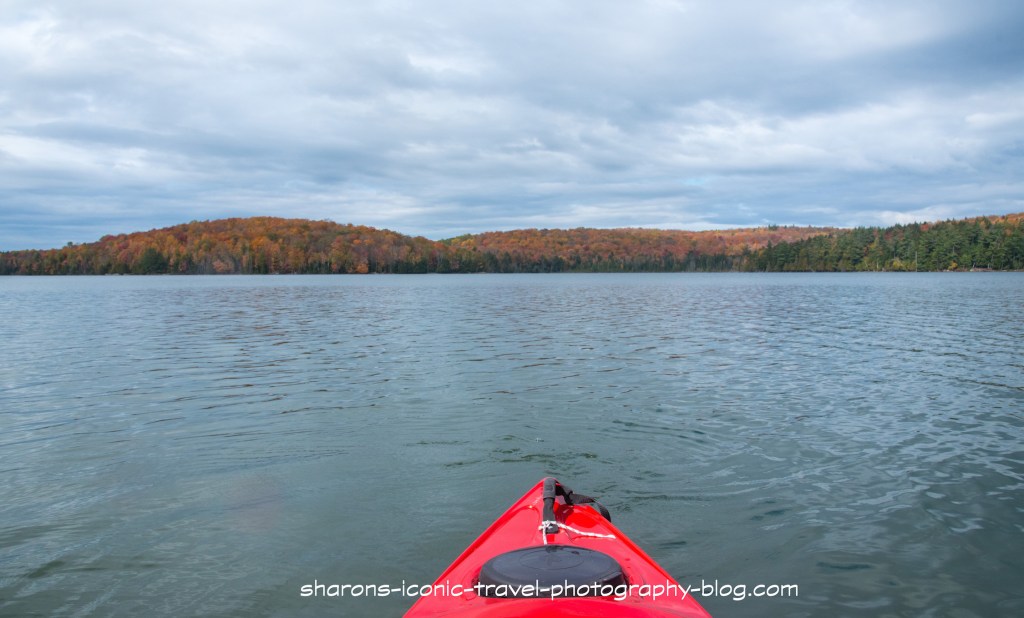
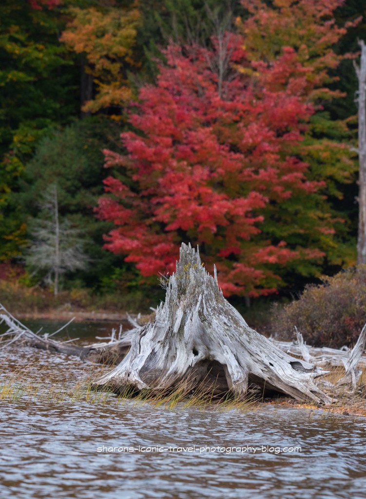
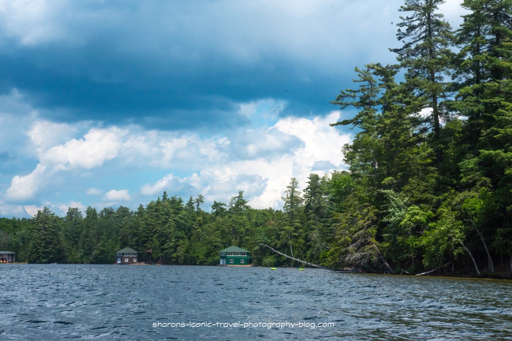
The pond does get some wind, but I found it less windy than larger nearby ponds. This pond did not appear to have access to other bodies of water.
Due to downed trees I did not see an access point on the north side of the pond to Long Pond. I don’t know if it was normally able to be accessed via kayak.
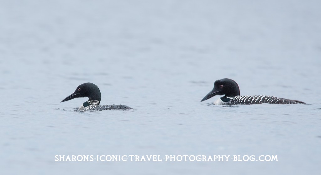
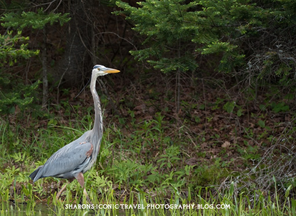
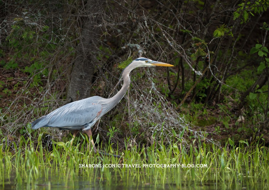
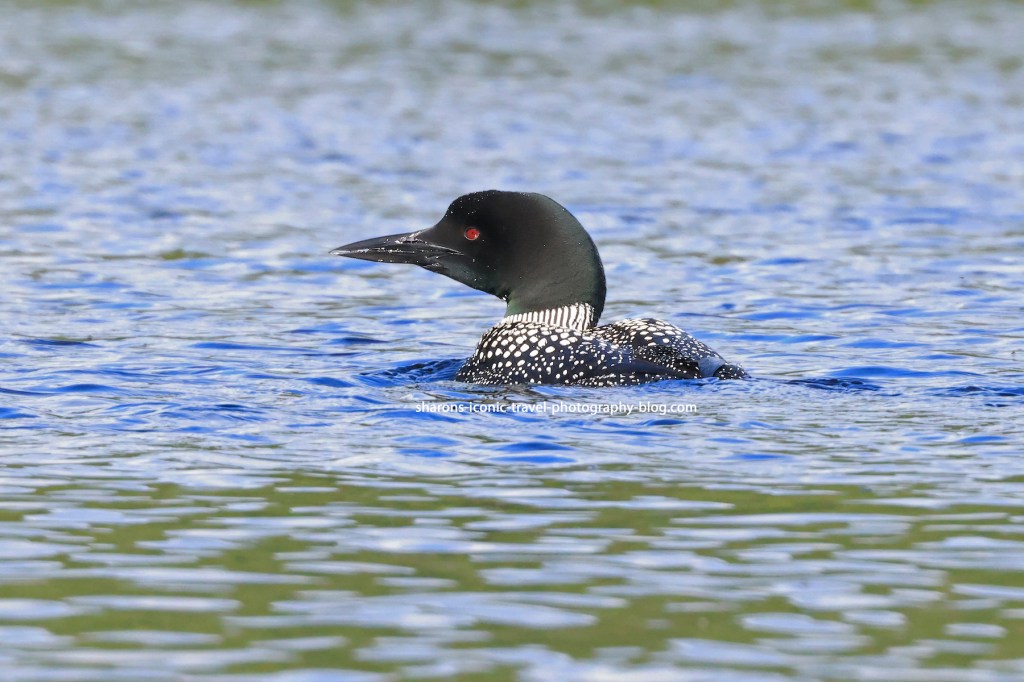
Wildlife
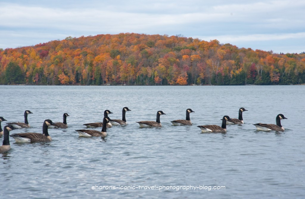
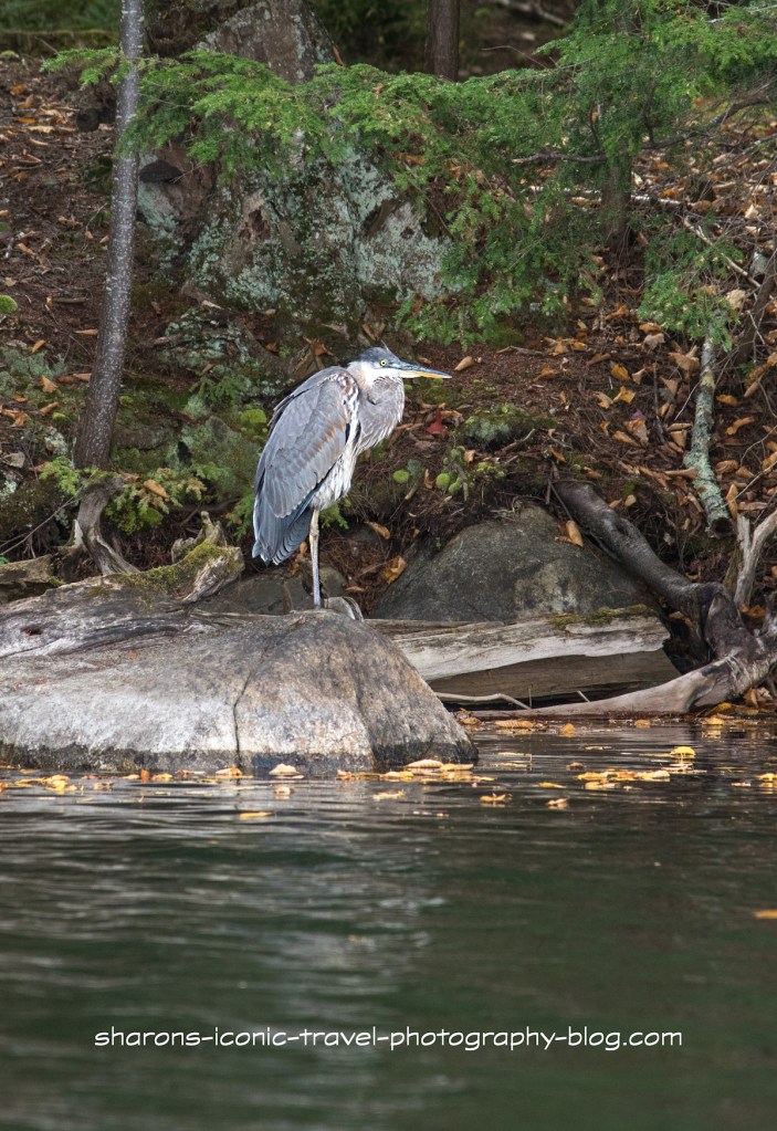
Wildlife is always a bonus for me. This pond had loons. There were ducks on the narrow part near the boat launch that were camera shy. They may have been black ducks. Adult loons may have one main pond, but will travel to other nearby ponds and lakes to socialise with other loons and fish. I believe I also saw a kingfisher.
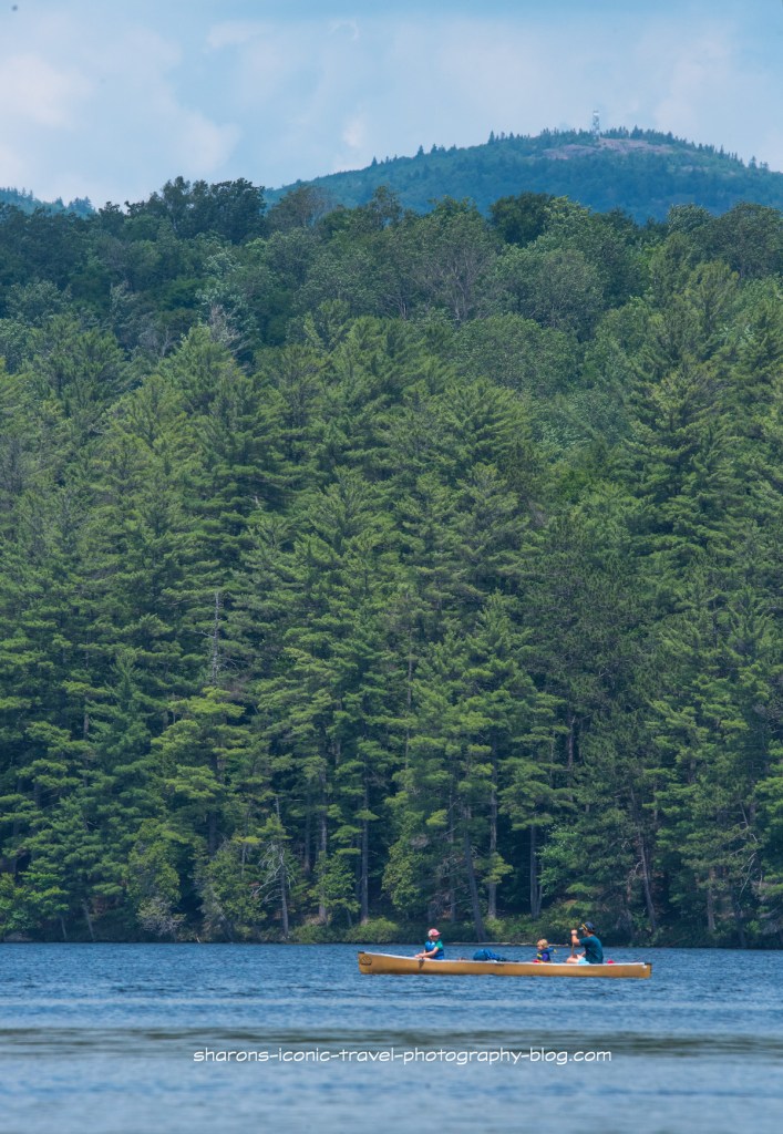
This is a pond I would return to. I would bring a picnic lunch and bug spray. I got bit by mosquitos on land when hiking the trail, but not while kayaking. The lean-to was unoccupied and the area has a picnic table. It is also in close proximity to other larger bodies of water if you are trying to go to more than one body of water in the same day. If you are in the area and are looking for a shorter paddle, kayak or canoe Black Pond.