Oseetah Lake via the Second Pond Launch

Did you know there were locks and people operating them during the summer in the Adirondack Mountains? As a kayaker if you go towards Oseetah Lake from the Second Pond Boat launch you are able to go through one of the locks.
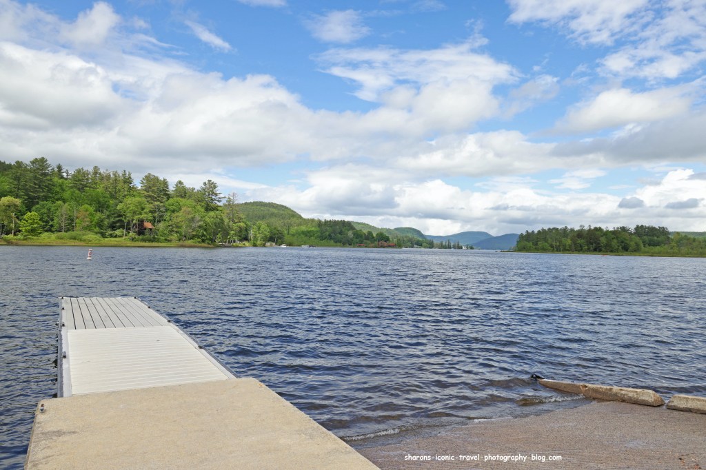
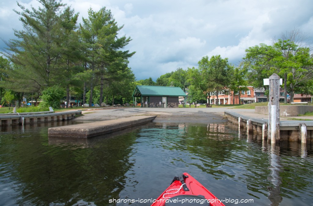
Launch

2nd Pond Boat Launch

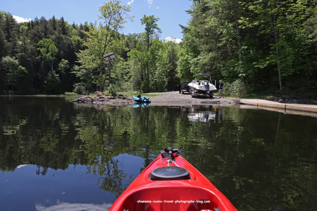
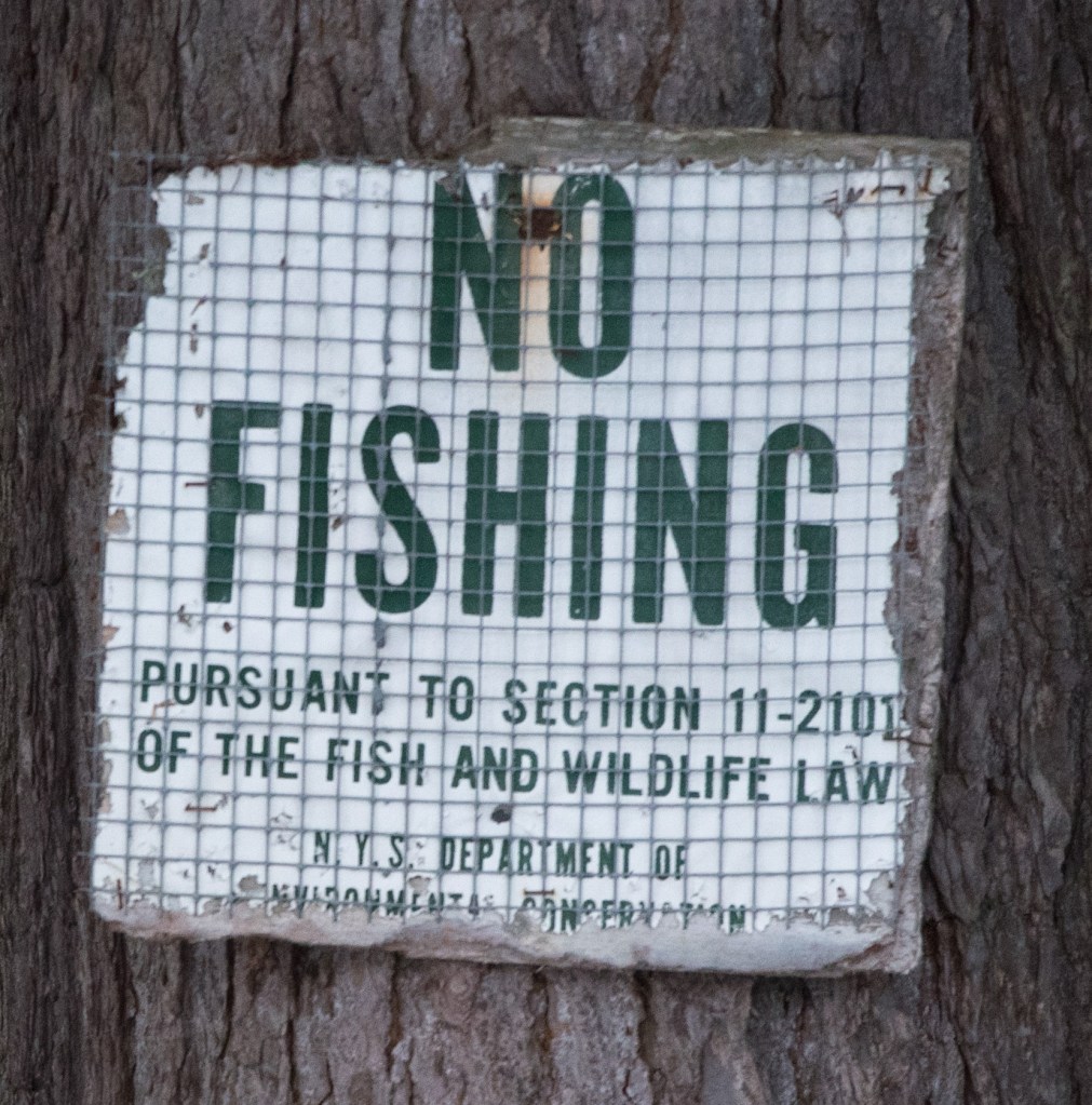
The Second Pond Boat Launch is southwest of the village of Saranac Lake on Route 3. This boat launch has spots for 75 cars and trailers. It is one of the busier launches in the Adirondacks because motorboats are allowed going in either direction. It also has port-a -potties. During the summer people are employed by the state to check your boat to make sure you are not carrying any invasive species from other lakes.
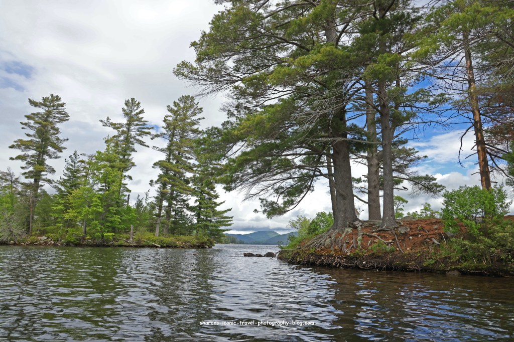
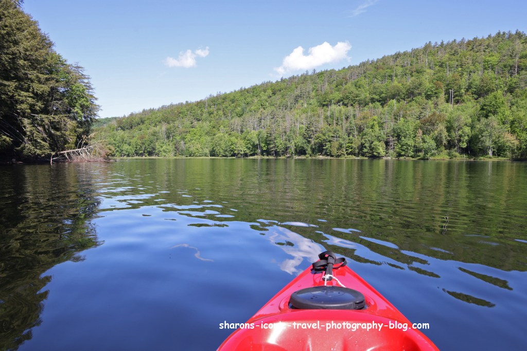
Second Pond

Second Pond
Passage way from Second Pond towards Lake Oseetah.

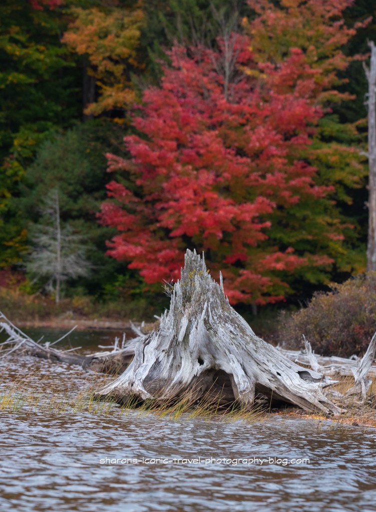
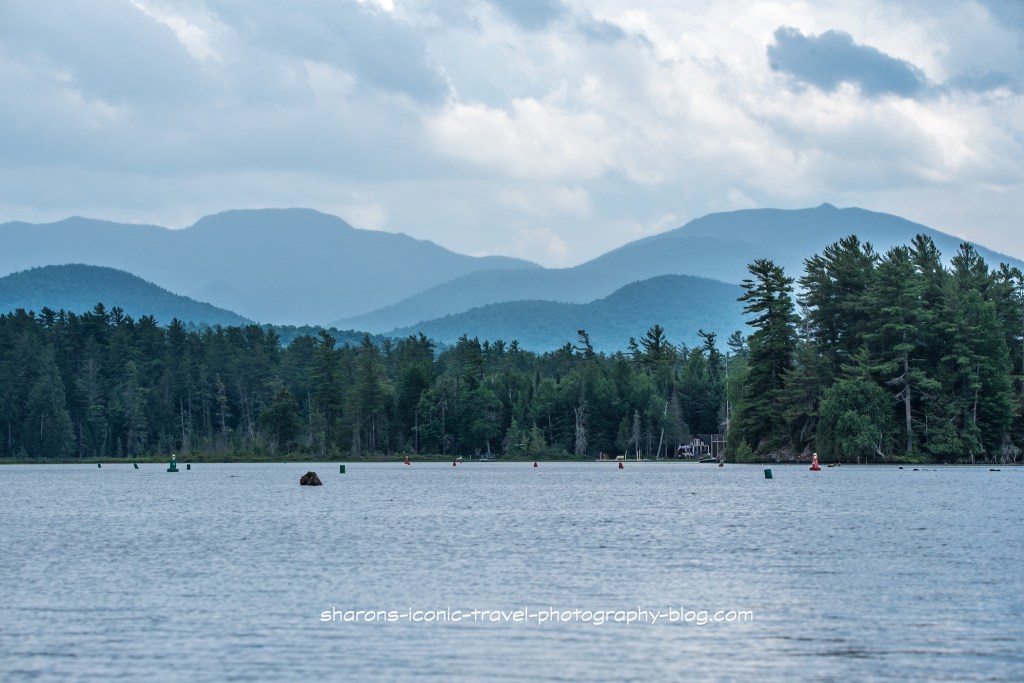
There are obstructions in the water and the only was to ensure you avoid them is to stay between the buoys. Some areas have more of these than others. Sometimes it is a huge boulder under the water that comes inches from the surface or a down tree that is slightly under the surface or a stump protruding from the water.

Campsites

On the Paddler’s Map North, one campsite without a lean-to (#62) is on Second Pond close to the boat launch on the opposite side. Another campsite is on the map with a lean-to going through the passageway from Second Pond to Oseetah Lake. The pictures below show the campsite with the lean-to.

It appears the numbered campsites have to be reserved during the summer and early fall through http://www.reserveamerica.com or 1-800-456-camp. These sites are in the Saranac Lake Islands Public Campgrounds. It appears the lean to site in these pictures is not included in that. These it appears fall under the first come first dibs campsites as on other lakes that are free and allow you to stay for three nights without a rangers permission.

A lot of the campsites in this area come with picnic tables.
Lean-to

Getting To Oseetah Lake

Canoe Carry

There are two routes you can take to get to the lake from the passageway. One way is to exit near the dam at the canoe carry. Heading north up Oseetah Lake is the direction you can take to paddle to the village of Saranac Lake. The other way to get to the lake is through the locks.

Lower locks

I choose to go through the locks. During the summer and early fall there is a lock master who operates the locks for you. Behind me a group of female kayakers led by a female guide paddled up. I felt lucky as the guide told me how to go through the locks. She also said the canoe carry here was not so easy to do by yourself. The lock master had a few motorboats go through the locks first, then later had all the kayakers in the locks at once.

Inside the lock

When inside the lock people on kayaks or canoes pull up to a thick rope or chain and lightly hold on with one hand. As the water goes up or down loosely move your hold on the rope in the direction you are going up or down.

Female kayak tour leaving the locks behind me. I think there were about 10 of them in total.

The kayaking tour was a several days long trip. The ladies were camping at different spots along the way. The tour guide told me they are an all female guide company I believe. I wish I would have asked for more info so I could have mentioned them here with specifics.
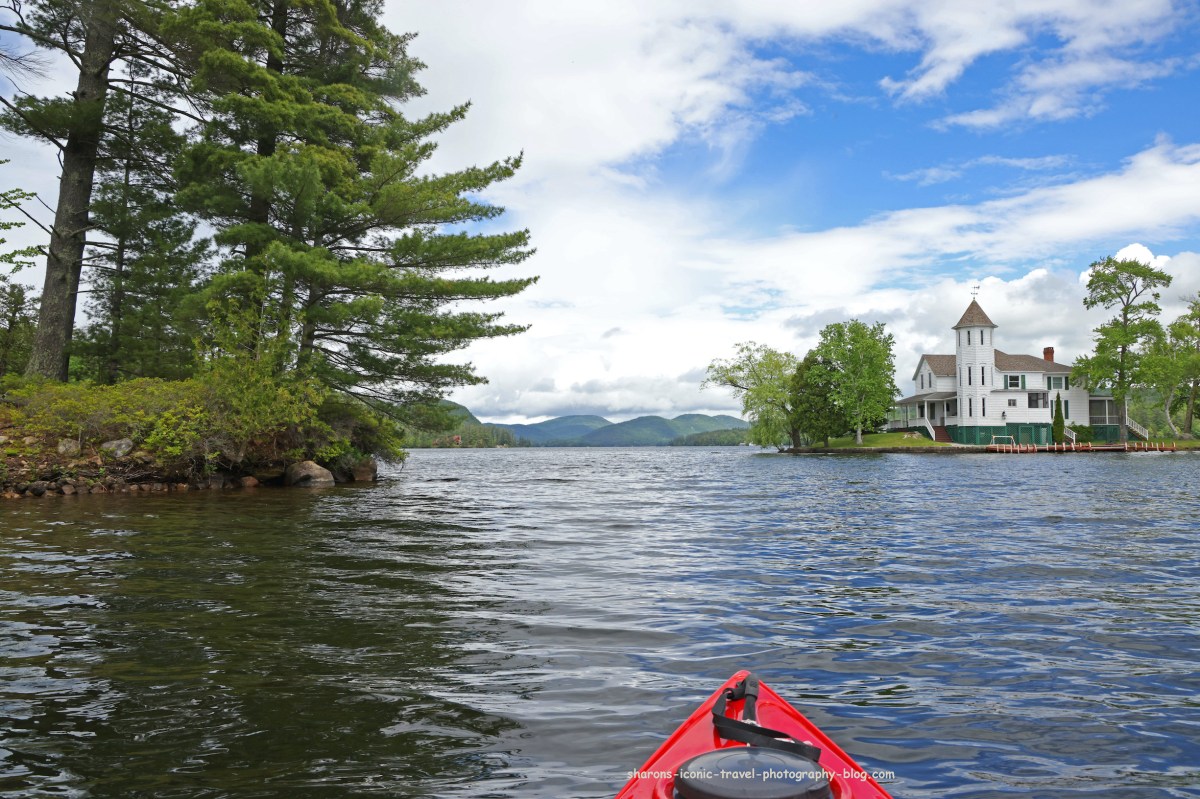
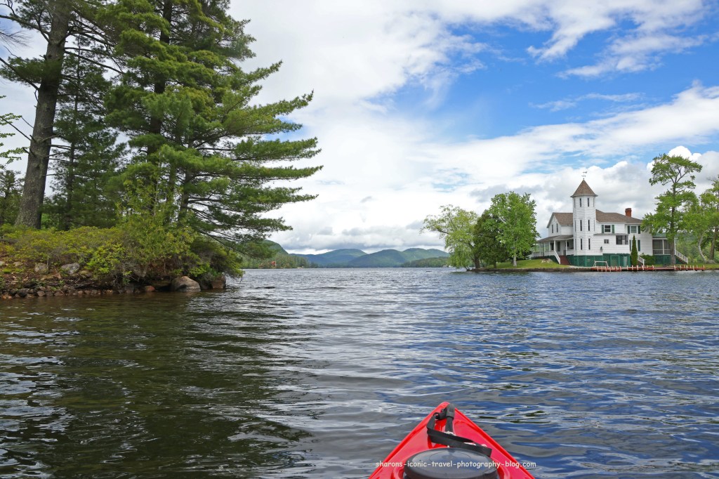
Oseetah Lake

Entering Oseetah Lake

Most of the land around the lake is private. You will see some cabins on the southern end of the lake near the locks. They are in other spots as well.

Women’s kayaking tour. You can see some stumps protruding from the water on the left side of the photo.

This area of rhe lake also had many rocks and stumps just under or above the surface.

Returning Through the Locks

This trip it was 1-2 motor boats and myself in the lock. Motorboats are allowed on all the waterways in this post.
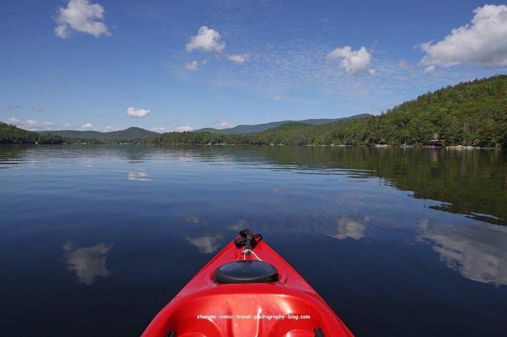
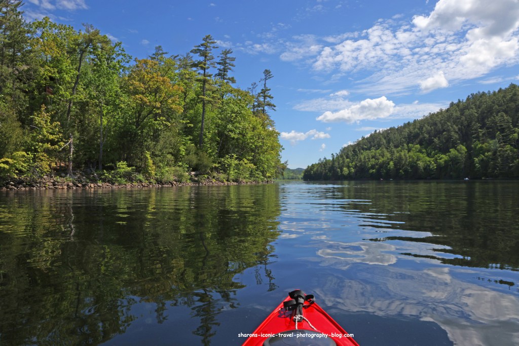
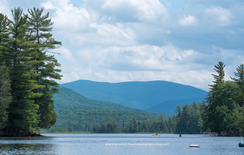
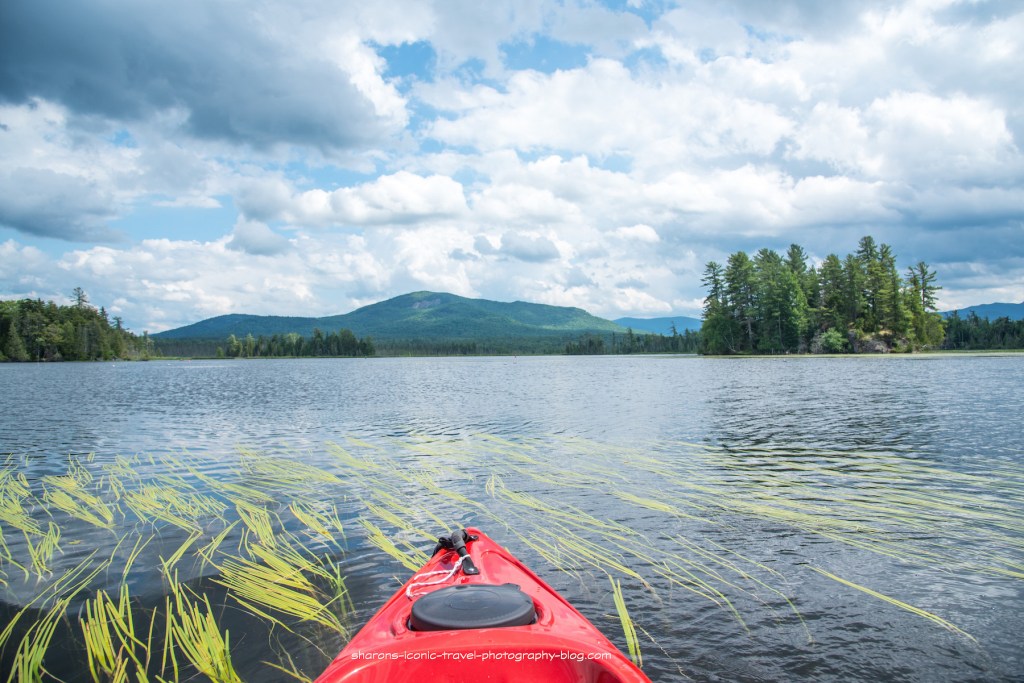
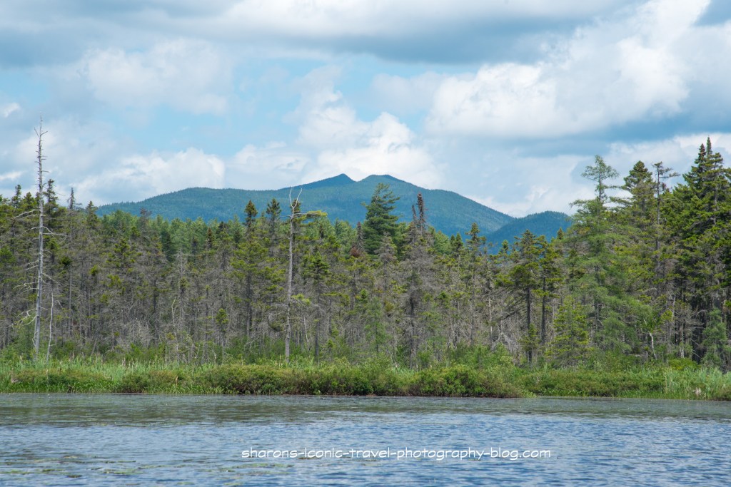
Lovely Scenery

This was a nice trip. I actually went the opposite way from the launch in the morning to Lower Saranac Lake then ate lunch at my car. After lunch, I went the opposite way from the boat launch. I did not see wildlife going in this direction. I did hear kingfishers at the water’s edge, but I did not see them. If you take this route, just beware of the obstructions in the water and stay between the buoys. The scenery is worth the trip.

Brant Lake

What lake in the Adirondacks has the same name as an Mohawk Indian Chief who supported the British in the War for Independence? It is Brant Lake in Warren County. It is another lake worth visiting in the area north of Lake George in the Adirondack Mountains of N.Y.

History of a Name

I cannot say the lake is named after the Indian chief, but so far I have not found information online saying where the name came from. I even emailed a nearby historical group with no response. Joseph Brant was a Mohawk Chief who sided with the British during the Revolutionary War. According to the National Park Service during the French and Indian War “In 1755, at age 13 he accompanied Sir William Johnson to the Battle of Lake George.” Lake George is south of Brant Lake and a short drive by car. Mohawks today have tribal land on both sides of the border with Canada north of the Adirondack Mountains.

Location

Brant Lake is north of Lake George. If coming from the south you take the Adirondack Northway route 87 north of Albany. Get off at exit 25- the exit for NY 8 north. Go approximately 2.6 miles to the boat launch. The address is 6799 NY 8 , Brant Lake, NY.

Boat Ramp
They had a boat ramp and dock.

This boat ramp had multiple people working it on a weekend, and it is no wonder. I likened this to the Grand Central Station of boat ramps in the Adirondack Mountains. There were boats constantly coming in and going of the the lake here. I had to wait to launch and wait to get out. I was able to park without waiting. If I remember correctly, they had port a potty toilets or privy here.

Two islands
Paddling between two islands.
Traffic

This lake is big enough that I was able to avoid motor boats by sticking to paddling along the shore. It is about 5 miles in length.It was a little windy, and I was worried about the possibility of a storm, but things ended up fine.

Regardless of the motorboat traffic it was still a nice ride. There is not a lot of development along the lake. There are a few houses spread out and camps. There is a lot of wide open spaces with nice views in the Adirondack Mountains. Get out and enjoy it.

Paradox Lake

Want a great place to paddle your canoe of kayak for the day in the Adirondack Mountains? Looking for a place to get on the water in the Lake George- Schroon Lake area? Then head to Paradox Lake.

Paradox Lake

Paradox Lake is on Route 74 in Paradox, NY. To get there take the Northway or Route 87 to Exit 28. Take 74 east about 4 miles to the campground. There is a small entrance fee for day use if you are going to kayak or canoe.

Click on this link to see a map of the lake: https://www.dec.ny.gov/docs/fish_marine_pdf/pdoxlkmap.pdf

Boat Launch was near the end of the smaller section of the lake on the eastern end.

The boat launch is a short drive from the entrance booth. It has ample parking. I saw more kayaks going in and out then motor boats. Bathrooms are up the road in the campground from the boat launch in the beach area where they rent kayaks and canoes.

This is the entrance to what joins the two sections of the lake together.

The part of the lake the launch is on is much smaller than the other part of the lake. I decided to go through the narrow canal like connection to the larger part of the lake. I heard from fishermen on the way that eagles liked to hang out in the tall pine trees at the end of where this meets the larger part of the lake, but I had no luck that day. I was also told by others that eagles were known to be at this lake. This lake seems to be known for trout and they are trying to introduce inland salmon I read on one of the sites.

Looking into the larger section of the lake.

This is the larger part of the lake. It was windy at times, so I only explored a section of it.

This is the entrance back into the passageway heading towards the smaller section of the lake. I did not see too many boats out on the lake. Sometimes when there is a large state campgrounds on a lake there is a lot of traffic and little wildlife to be seen. Because this lake is pretty big- at least 4 miles in length, there are not as many people as one would think. There are also a few homes along the lake.

Overall I highly recommend this lake. The boat launch, parking situation, and the chance to see wildlife are all benefits in my book.

Little Clear Pond

You can not always pick your weather. Sometimes I really wish I could. I went up to the Adirondack Mountains on a three day weekend in October. The day I went to this pond it was dreary in the morning. I will kayak even if it is raining.

How to Access

Little Clear Pond can be accessed off State Route 30 on the Adirondack Fishery Road. The sign above is on the Adirondack Fish Hatchery Road.

The road leading to it is dirt/ gravel. It breaks off at one point. If I remember correctly it also crosses a road that is used for a snowmobile route. It was very muddy there with the rain.

Little Clear was the only one marked on the map with a boat ramp. It appears it is a canoe carry to Little Green Pond. I may have to check that out in the future, but canoe carries I found usually mean a dock. As a kayaker I prefer a boat ramp. I could be wrong though.

Boat launch- It is a gentle slope down to the pond from the parking lot.

It is near the fishery. The fishery uses this pond so fishing is not allowed.

A lot of stumps in this pond.
Wildlife

‘This appeared to be a young loon. It was hanging around waiting for its mother to feed it. The parent appeared to be handing fish off to it underwater. Not too long before they fly south. I hope this young loon has learned to fish on its own so it can follow its parent south. I also saw Merganser ducks here, but they kept quite a distance.

This guy caught up with me on another section of the pond. The motehr was probably around somewhere, but I did not see her at this point.
Scenery
That could possibly be the St. Regis Mountain Fire Tower in the background.
Dos and Don’ts

There are several things not allowed because the Adirondack Fish Hatchery uses this pond. Fishing is not allowed. According to an article written by Spencer Morrissey in the Adirondack Daily Enterprise this pond is used as a breeding ground for landlocked salmon. So loons and eagles are known to be seen here. Camping is not allowed along this pond either for the same reason and motor boats are banned. Canoes and kayaks are welcome.

One of the many stumps with fall foliage in the background.

I highly recommend this pond. They do have a larger parking area than most ponds. I saw one other boat that morning and another came before I left. So it is a quiet place, nice to take a small group. Seeing loons is a bonus as well as having a chance of seeing eagles.

Even in less than ideal conditions go out and enjoy nature. Stay safe and stay healthy!

Lake Flower

What lake can you access right in the town of Saranac Lake? This lake is connected to other bodies of water and has some really scenic views of the neighbouring mountains? It is Lake Flower. I highly recommend a paddle trip on this lake.

Solo kayaker
Some parts of the lake are narrower than other parts.

This lake allows motor boats. It has a marina or two near the start of this trip. However, this lake is so big I think I only saw one or two other motor boats on this 80 degree day. I saw maybe 3-4 kayakers on this trip.

There were a lot of markers on this section. I am assuming it was a shallow area with rocks sticking up. I did not paddle as far as I wanted to on this lake as another afternoon storm was approaching. I had hiked a mountain in the morning before it got hot. It seems there is less a chance of thunderstorms in the morning.

I made it as far as Oseetah Lake but I stopped taking pictures due to thunder. From Oseetah Lake you can paddle into Kiwasssa Lake I am told. I also was told you get get to Lower Saranac also by starting at Lake Flower. That is something for me to explore on another trip.

There did not appear to be a good area to stop to eat on this trip. I suggest taking food and drink with you in the section of the kayak you sit in and not a hatch for that reason. I took a lunch bag with ice packs in it to the kayak for easy accessibility. A lot of land up to Oseetah Lake is privately owned or not very accessible to pull over to take a break..

There appear to be no public campsites on Lake Flower, however there is one lean-to on Kiwassa Lake.

Dockside Ice Cream Stand

Mountain Mist Ice Cream can be visited by either pulling up and parking at their dock behind the ice cream stand or by pulling into the parking lot on Route .. They also have a boat ramp next to the dock and a covered area to sit under. This is close to the start. It is a good stop by water or land on the return.

Boat Launch

This is the boat launch you start off at. It is a two bay boat launch. They have a parking area to the right of this photo and bathrooms in the building directly behind the boat launch. There is someone on duty to check your boat to make sure you do not bring invasive plants from one body of water to another.

I really enjoyed the scenery. I would do this paddle again. I did see one loon where Lake Flower meets Oseetah Lake. That is always a plus in my mind. If you want a long trip or a short one with the possibility of an ice cream reward at the end, go to Lake Flower. It is stunning.

%d bloggers like this: